Film
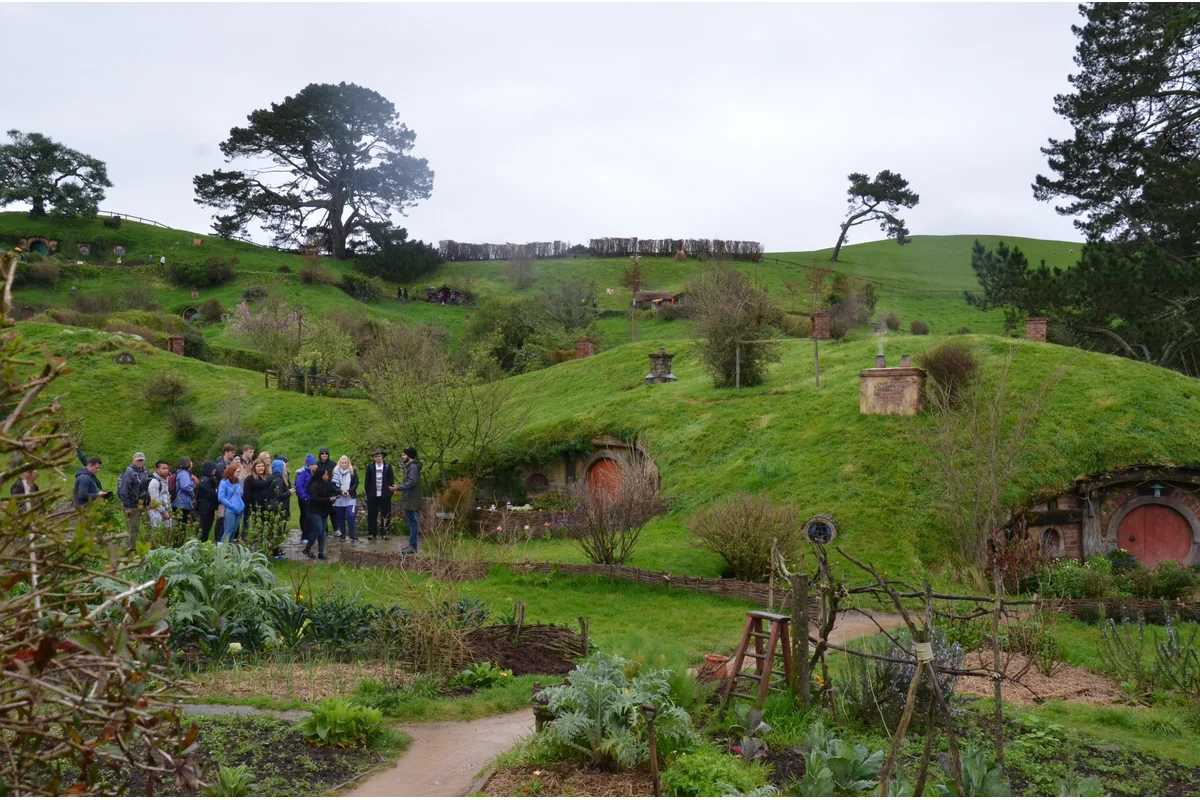
Hobbiton Movie Set
Hobbiton is the actual film set built for the Shire in the Lord of the...
Tongariro is the oldest national park in New Zealand and a dual World Heritage site, valued for both its volcanoes and its Māori cultural significance. The main reason to come is the Tongariro Alpine Crossing, a 19.4 km one-way walk across a live volcanic landscape of craters, lava and bright emerald lakes. In winter the same slopes become the Whakapapa and Tūroa ski fields on Mount Ruapehu.
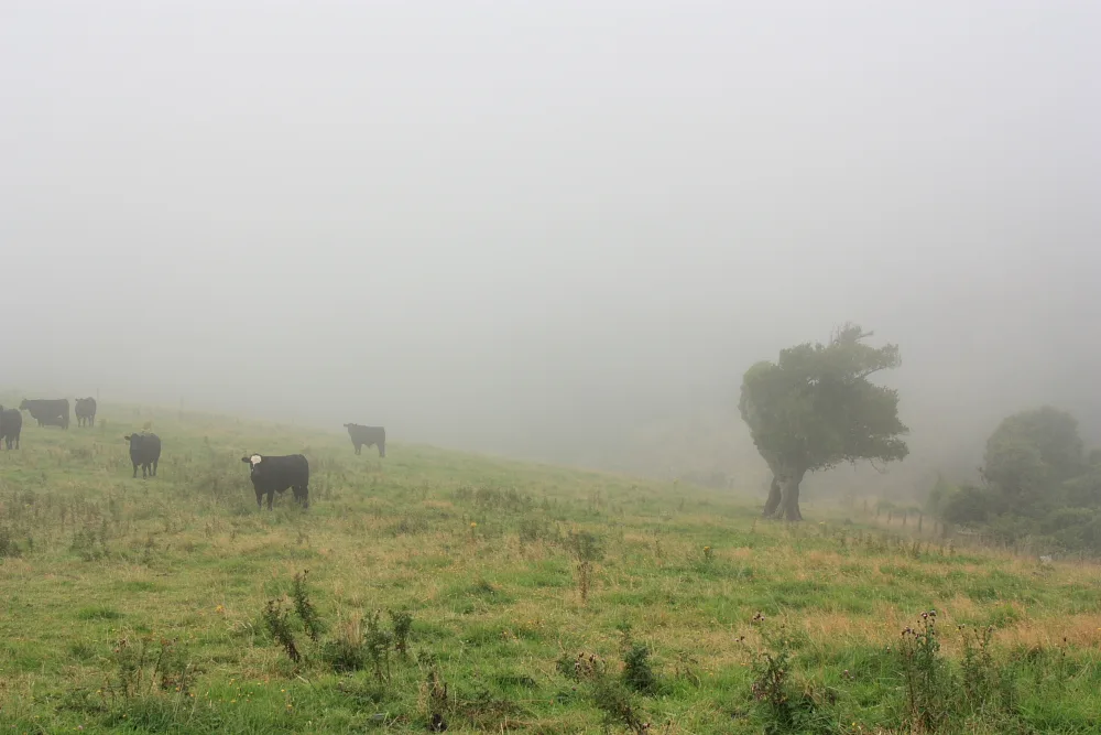
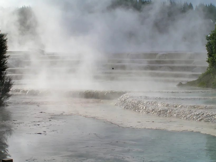
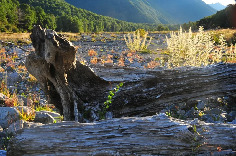
The park sits in the central North Island around three volcanoes: Ruapehu, Ngāuruhoe and Tongariro. Ngāuruhoe stood in for Mount Doom in the Lord of the Rings films. The landscape is raw, with steaming vents, old lava flows and coloured crater lakes.
The Tongariro Alpine Crossing is the famous day walk, climbing past the Red Crater to the Emerald Lakes before descending the far side. It takes most people six to eight hours and is exposed to wind and sudden weather. If that is too much, shorter walks like Taranaki Falls and the Tama Lakes start near Whakapapa village and need no transport logistics.
The Alpine Crossing is a one-way walk, so you cannot just park at the start and return to your car. Almost everyone uses a shuttle: operators run from National Park village, Whakapapa and Taupō, typically NZD 40 to NZD 60 return, dropping you at the Mangatepopo end and collecting you at Ketetahi. Book the shuttle ahead in summer and confirm the pick-up time, as you must finish before the last bus.
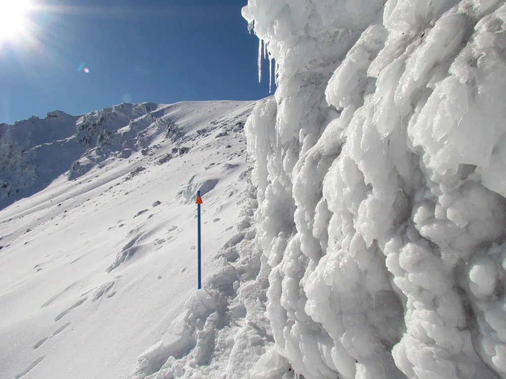
Guided walks are available and worth it in winter, when the route becomes an alpine climb needing ice axe and crampons; do not attempt it unguided in snow. In the ski season, lift passes at Whakapapa or Tūroa run roughly NZD 100 to NZD 150 a day.
The park is roughly in the middle of the North Island. From Taupō it is about an hour and a half to National Park village or Whakapapa; from Auckland allow around four and a half to five hours, and from Wellington about four. Most people base themselves in National Park village, Ōhakune or Taupō and travel to the trailhead.
State Highway 1 (the Desert Road) skirts the eastern side and can close in winter snow, with State Highway 4 to the west as the alternative. There is a small airport at Taupō but no flights into the park itself. Driving is by far the easiest way in.
For the Alpine Crossing, the walking season is roughly November to April, when the route is usually snow-free and shuttles run often. January and February are warmest and busiest, with hundreds on the track on a fine day. From May to October the crossing becomes a serious alpine route needing winter skills, a guide and gear, while the ski fields on Ruapehu open instead. Weather is the deciding factor in any season: it can be calm at the start and a whiteout at the top, so check the forecast and be ready to turn back.